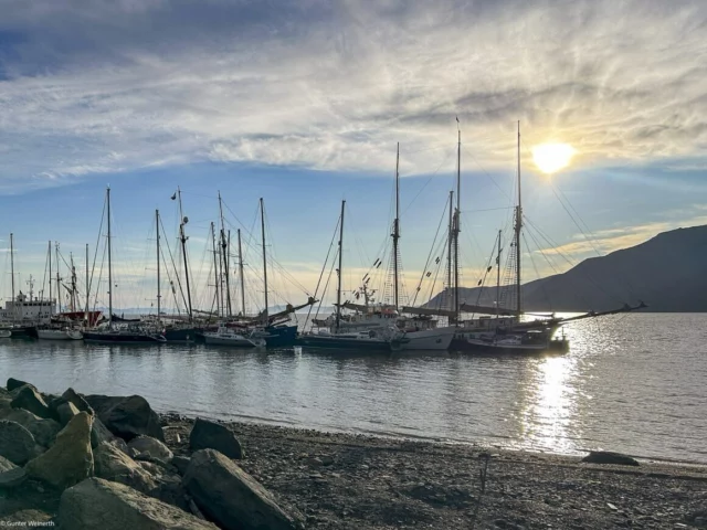
The more than 400 islands and skerries lie north of the Arctic Circle between 74 and 81 degrees north latitude and between 10 and 35 degrees east longitude, with the largest islands being Spitsbergen, Nordostland, Barentsøya, Edgeøya and Prins Karls Forland. These are relatively close to each other and extend a total of around 450 km (243 nm) in a north-south direction and 330 km (178 nm) in a west-east direction. While the coasts of Spitsbergen are generally ice-free in summer, the pack ice can reach as far as the southern tip of the archipelago in winter. The coasts of the islands are very rugged and interspersed with fjords. The boat is therefore an important means of transport, especially in summer when the swampy tundra cannot be crossed by land. More than 60 per cent of Spitsbergen’s land area is also covered by glaciers. One of them, the Austfonna, is the largest glacier in Europe in terms of area.
The climate around Spitsbergen is arctic. It is cool all year round with regular but low rainfall. The coastal regions are only free of snow for around six weeks in summer, while the fjords only freeze over occasionally in winter. Although the summers are cool, the winters are very mild despite the northern location, as the West Spitsbergen Current, an offshoot of the Gulf Stream, transports relatively warm water along the west coast into the Arctic Ocean. It is the main reason why the archipelago is inhabitable at all. In summer, which begins in early June with sunshine and ends at the end of September with fog, rain and snow, temperatures range between -2 °C and 17 °C. In winter it is between -25 °C and -25 °C. In winter, it is between -25 °C and 5 °C, with frequent snowfall and fog. The average annual temperature is -6.7 °C.


 . Für die nächste Salzwass


