Spitsbergen 2024 – A special adventure with the POLARIS (Part 2)
from Guido Dwersteg
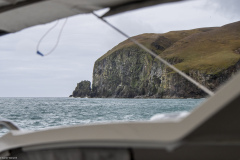
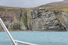
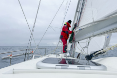
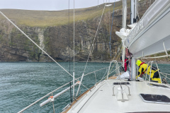
Shortly before entering the south-eastern anchorage bay of Bear Island, we hoisted the sails and got ready for the upcoming manoeuvre. The wind was still blowing at a good 20 knots, which not only caused a lot of swell in the bay, but also unpleasantly cold temperatures. The anchor was then dropped at a water depth of around 15-20 metres. Our 55-kilo ROCNA is just the right iron for such conditions. It digs in quickly and reliably and, together with the 10 mm chain (in this case a good 70 metres), provides a secure hold. Nevertheless, the anchorage was not really calm. The swell rolled far into the bay and was also repeatedly thrown back at us by the surrounding rocks. You shouldn’t really anchor in such conditions. However, the crew and skipper wanted a longer break and we deserved a cold landing beer after the 50-hour journey here. The dramatically rugged cliffs around us made up for our previous efforts. Steep rock faces, some with artistic formations, gave us a first impression of the increasingly rugged nature of the north. A short time later, everyone was lying peacefully in their bunks, the anchor alarm sounded and we were able to recharge our batteries.
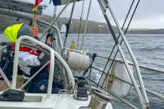
The next morning, the world looked different again. The weather had calmed down a little in the meantime and the 6 hours of sleep had given us new vigour. After a good breakfast, we weighed anchor. Unfortunately, not without problems, as our anchor winch failed during the last few metres of the recovery manoeuvre due to supposed overheating. Of course, this was an extremely unfavourable situation close to shore. However, with combined forces, we were able to recover and secure the anchor with the help of an additional halyard, a chain claw and the cockpit’s electric winches. A short time later, the conventional anchor winch was up and running again (of course :-)). Nevertheless, we decided to get to the bottom of the problem over the next few days.
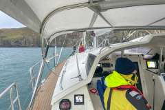
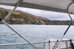
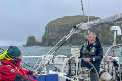
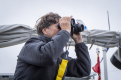
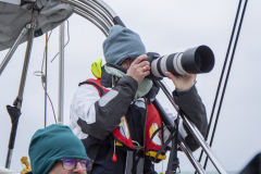
We now set a northerly course around the south-east tip of Bear Island. For about 10 miles we sailed along the fascinatingly beautiful coastal landscape. We used our binoculars to keep an eye out for seabirds, seals and other creatures. In the north-east of the island, we were even able to make out some weathered buildings on land. According to the area guide, this is a weather station that is manned all year round and is used for climate research, among other things. There is another anchorage in the spacious bay in front of it, but it is also quite open and is therefore only an alternative in calm conditions. On the other hand, it is easier to land here than in the cosy bay to the south. However, we wanted to continue and take advantage of the still good sailing conditions with 5-6 winds from the south-west.
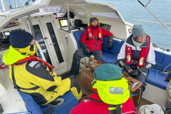
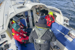
Shortly before the north-eastern tip of the island, there was a squawking on the radio. An apparently Russian male voice was talking to another ship. A short time later, we also passed a huge Russian fishing trawler that was anchored here. We could also see other Russian ships on the AIS that were looking for good prey not far from us. Just over an hour later, the coast of Bear Island disappeared behind us in the hazy fog and we were once again alone on the high seas. Another 130 nautical miles lay ahead of us before we reached the southernmost tip of the Spitsbergen archipelago. In the meantime, our guests had become well acclimatised to the swell and cold temperatures. With regular meals and our first home-baked bread, we also catered for their physical well-being and good mood.
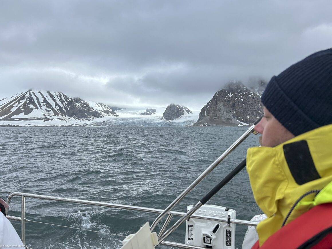
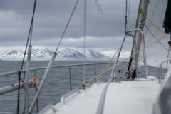
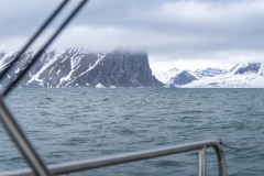
After about 22 hours, the time had come. The first snow-covered peaks of Spitsbergen appeared on the horizon diagonally in front of us. We had already observed the first echoes on the radar hours earlier. However, visibility was so limited due to the fog and low-hanging clouds that we were only now able to enjoy our first real visual contact. Nevertheless, it was a fantastic feeling. We had sailed from Tromsø all the way up to Spitsbergen. The GPS coordinates on our instruments now showed a geographical altitude of 76 degrees and 37 minutes north. Quite a long way up, but by no means the end of our journey.
We now sailed further northwards at a respectful distance from the coast. It is of course tempting to sail closer to land here, but caution is advised. For one thing, the nautical charts are not always accurate or have a few ‘blind spots’ here and there. In addition, there are numerous rocks just below the surface of the water, even far off the coastline.
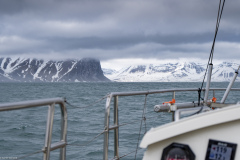
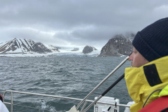
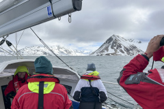
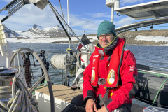
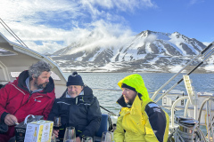
Our first destination on Spitsbergen was to be Hornsund. The first large fjord on the west coast, so to speak, and a very promising place according to the area information. And although the sighting of land quickly gave us the feeling that we would soon be there, it was another 50 nautical miles before we reached our final anchorage at Treskelbukta. Beforehand, we were able to marvel at the increasingly dense passing mountains, rapid fields and even the first glaciers. Just the right backdrop for the still cold temperatures. But we hadn’t expected anything else. Countless photos and short videos were taken. Later, the sun even came out at the anchorage, which was very calm this time. Sitting in the cockpit, we were delighted with the successful crossing and the general tiredness was quickly forgotten after a landing beer and dinner. All around us were sunlit mountain ranges, scree fields and huge glacier tongues on the horizon, some of which reached down into the sea. Tomorrow we would be travelling further north, more precisely to Bellsund to the north of us. Will we perhaps meet our first polar bear here?
WOULD YOU LIKE TO EXPERIENCE SUCH AN ADVENTURE ON THE POLARIS?

